Crowds are growing.
Airports aren’t.
By most counts, the number of planes in the air doubles over the next twenty years, yet the infrastructure stays stubbornly put. 🛫
It’s a squeeze play. Denser traffic. Wilder weather thanks to climate shifts. Tighter taxiways.
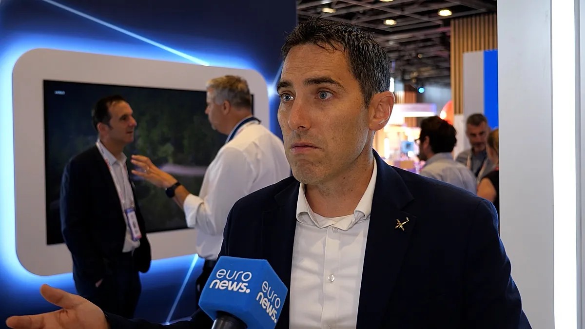
“We need to find different ways to think… and use the technology we have,” says Jonathan Rigaud. He runs Airbus’ Optimate demonstrator project out of Paris.
Optimate isn’t a single gadget.
It’s a mesh. Artificial intelligence, quantum sensing, data fusion — all trying to solve one problem: how do we fly through a needle’s eye?
The three goals of Optimate
- Protect the route.
- Optimize the operations.
- Help the pilots see when everything goes fuzzy — like in heavy rain or thick fog.
LiDAR and computer vision do the heavy lifting here. Cameras stare at the world; AI decides if what it sees is a rock, a bird, or just a shadow.
“The goal is to be as optimized as possible,” Rigaud said.
Sounds corporate?
Maybe.
But think about taxiing.
Right now, aircraft spend over 20 minutes just rolling. Not flying. Just burning fuel on concrete. That’s waste. Pure and simple.
Optimate tries to fix the choreography. It links the plane, the airline, and air traffic control in a tighter loop. Better routes. Later engine starts. Less exhaust. 🌱
They aren’t testing this on 373 passengers.
No.
Airbus built a “truck” — an “aircraft on wheels” — to act as a ground proxy. For two years, this truck cruised the maze of Paris Charles de Gaulle. That place has more than 115 kilometers of taxiways. A real headache for navigation.
They clocked over 400 test hours. Now?
“We start to have a glance,” Rigaud notes, at what actually needs to end up on the wings.
Losing faith in GPS
Let’s be honest about navigation.
GPS is everywhere. It’s also fragile. Geopolitical tensions have made jamming and spoofing real threats. You don’t want your flight path decided by a signal that someone else can kill.
Rigaud isn’t throwing GPS in the bin. Inertial systems still work.
But they’re adding layers.
Quantum sensing. Visual navigation on the tarmac. Sensor fusion to tie it all together.
Quantum sensing uses the quirks of physics to measure acceleration and movement with terrifying precision. It doesn’t need satellites to know where you are.
It creates redundancy. Robustness.
Who presses the button, though?
The pilot. Always the pilot.
Automation provides better information; humans make the decisions.
It’s a partnership, really. The machine sees more; the human decides what it means.
Or at least, that’s the pitch.
Whether pilots trust a quantum compass over a trusted satellite fix remains to be seen.
They’ll find out soon enough. ✈️